How GIS Mapping Is Transforming Real Estate Development in Lagos
Geographic Information Systems are changing how developers, planners, and investors understand land before a single structure goes up.

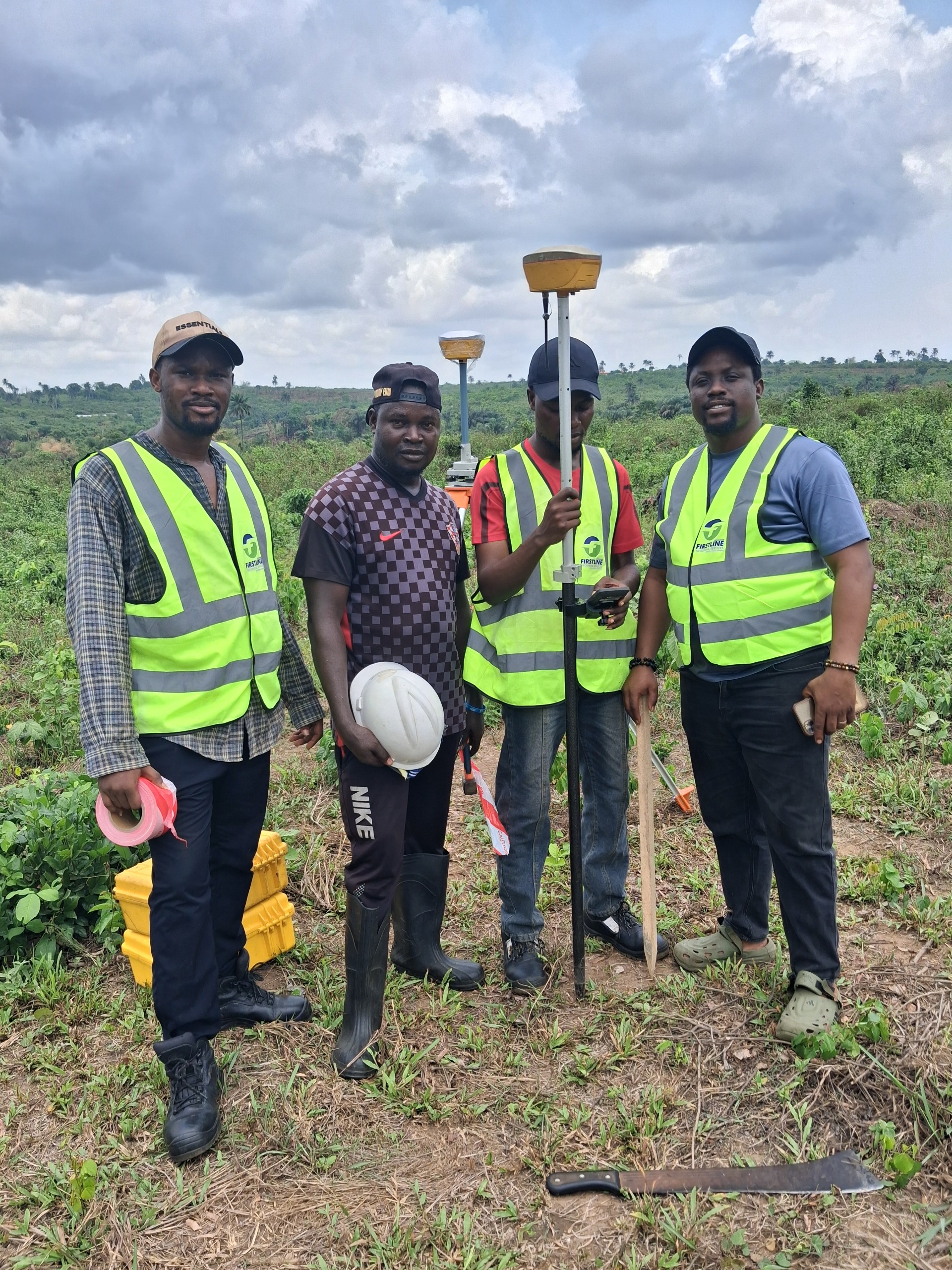
What GIS Actually Means in Practice
Geographic Information Systems, usually shortened to GIS, combine spatial data with software tools that allow that data to be layered, analysed, and visualised. In practical terms, this means a developer can view a piece of land not just as a flat outline, but as a layered picture showing elevation, drainage, proximity to infrastructure, and surrounding land use, all at once.
From Paper Plans to Layered Spatial Data
Traditional survey plans are valuable, but they are largely static documents. GIS takes that same underlying data and makes it dynamic. Multiple data layers, such as flood risk, road access, and existing utilities, can be overlaid on a single map, giving a far richer picture than any single paper plan could provide on its own.
How Developers Use GIS Before They Buy
Forward thinking developers in Lagos increasingly use GIS analysis as part of their initial site evaluation, well before any survey instrument touches the ground. This allows them to quickly compare multiple potential sites against criteria like flood risk, road access, and proximity to existing infrastructure, narrowing their options before committing time and money to a detailed cadastral or topographic survey.
How GIS Supports Planning and Risk Reduction
- Identifying flood prone areas before committing capital to a site
- Visualising drainage patterns across a development before construction begins
- Supporting infrastructure planning across multi plot developments
- Providing data driven evidence for regulatory and planning submissions
The Future of GIS in Lagos Real Estate
As Lagos continues to grow at a rapid pace, the demand for reliable, layered spatial data is only going to increase. Developers, government agencies, and individual property owners who adopt GIS tools earlier will consistently make faster and better informed decisions than those relying purely on traditional paper based survey plans. At Firstline Geospatial, GIS mapping is now a core part of how we support clients making serious land and development decisions across Lagos State.
Ready When You Are
Get a Survey You Can Actually Rely On
SURCON registered. Regulation compliant. 15 years of precision across Lagos State.