Land Surveying Company in Ikeja Lagos
Your First Step
to Precision
Land Surveying
Firstline Geospatial Services delivers accurate, regulation-compliant surveys that protect your land and property investment. Cadastral surveys, topographic surveys, GIS mapping and more across Ikeja, Lekki, Ikoyi and Ibeju-Lekki.
Who We Are
Precision That Protects Your Land Investment
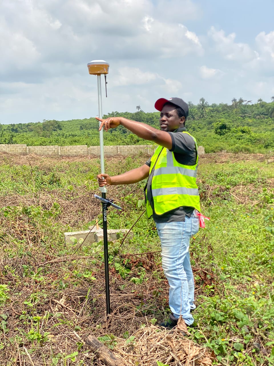
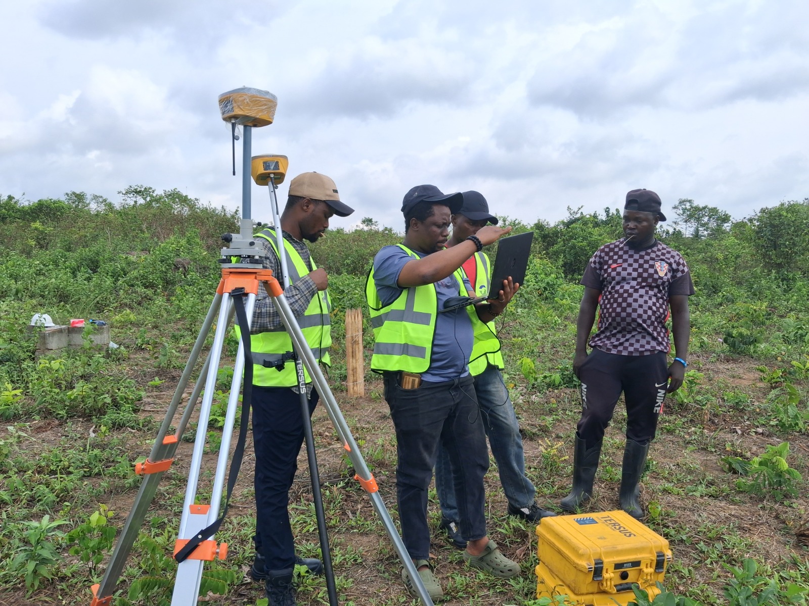
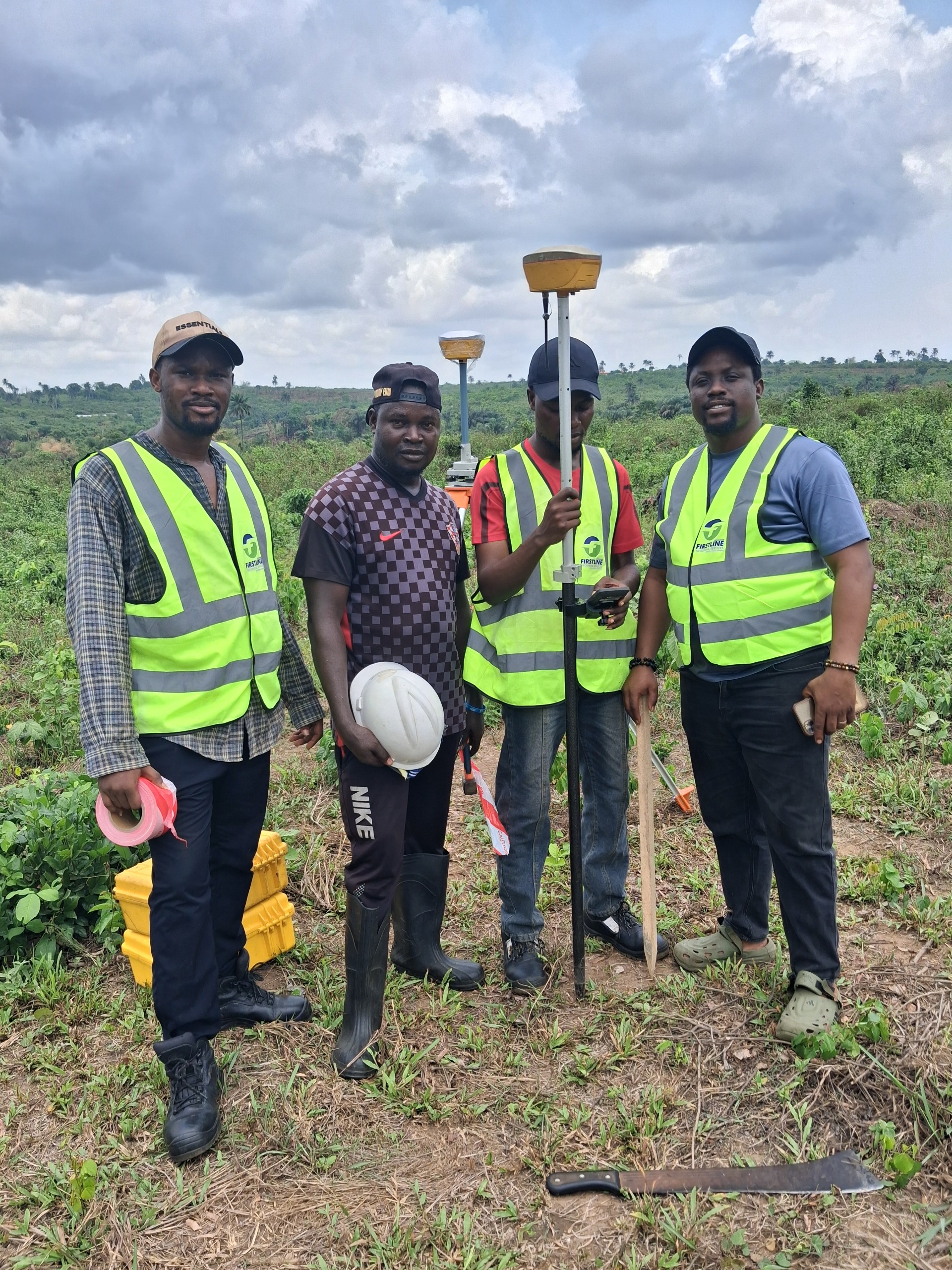
Firstline Geospatial Services Limited is Ikeja's trusted land surveying company, combining modern equipment, deep regulatory expertise, and a structured delivery process to give developers, property owners, and engineers data they can build on. Every project receives the same standard of accuracy and professionalism.
What We Do
Geospatial Services Built for Lagos
Every survey we deliver is accurate, regulation-compliant, and backed by modern technology. Whether you are buying land, building, or planning infrastructure, we have the right service.
 Cadastral Survey
Cadastral / Boundary Survey
Accurate determination and legal demarcation of property boundaries. Accepted by the Lagos State Land Bureau. Essential before any land purchase or development in Lagos.
Learn more
Topographic Survey
Topographic Survey
Detailed mapping of land features, elevations, and existing structures for accurate planning and design. We serve Ikeja and all of Lagos with fast, precise topographic surveys.
Learn more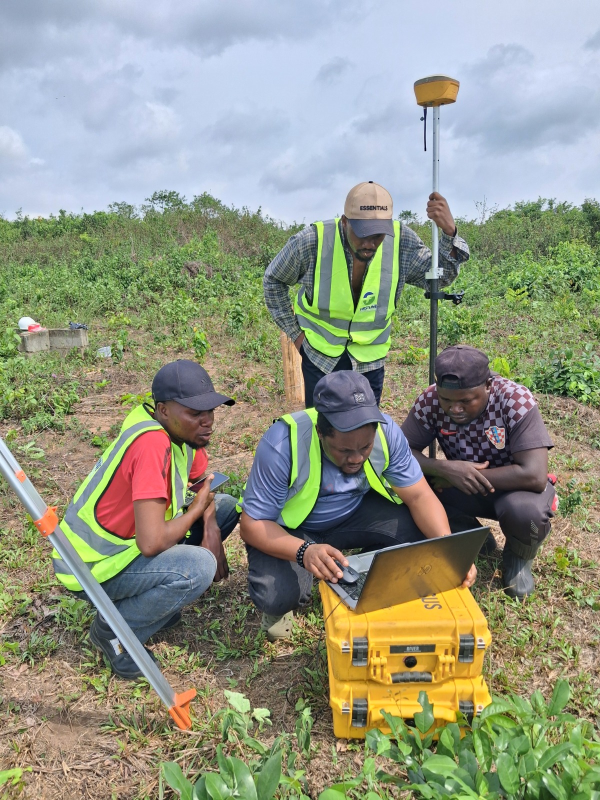 As-Built Survey
As-Built Survey
Documentation of completed construction projects, recording actual positions and dimensions for handover, compliance, and future reference across Lagos.
Learn more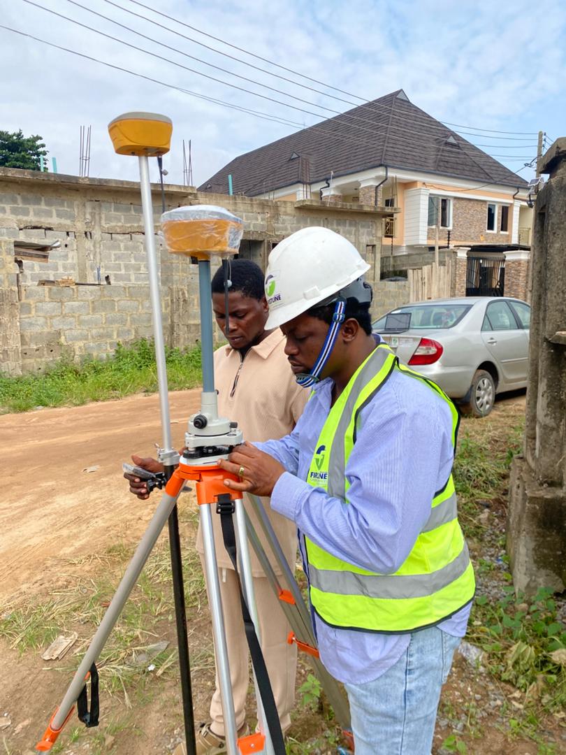 Engineering Survey
Engineering Survey
Precise measurements and spatial data supporting infrastructure design, construction, and maintenance across Lagos. Trusted by engineers and project managers.
Learn more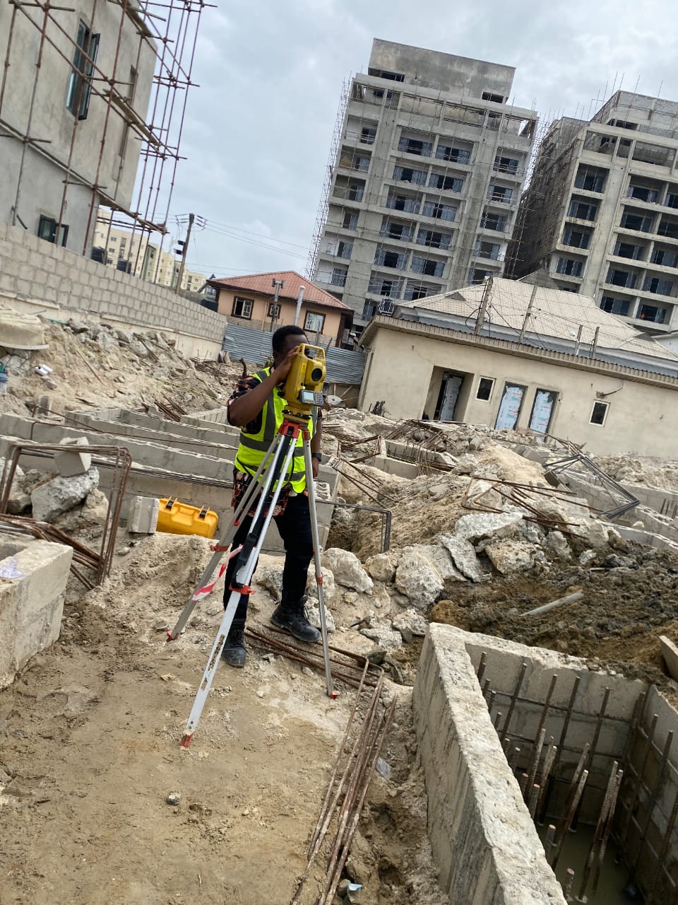 GIS Mapping
GIS Mapping
Production of maps, plans, and spatial data analysis using modern GIS tools. Clear, actionable outputs for developers, planners, and government agencies across Lagos.
Learn more
Data Processing
Geospatial Data Processing
End-to-end processing of raw spatial data into clear, actionable outputs including land-use maps and site analyses for developers and planners across Lagos State.
Learn more
Layout and Setting Out
Layout and Setting Out
Transferring architectural and engineering designs onto construction sites with the precision required for pile points, columns, and foundations across Lagos.
Learn more
Aerial Drone Mapping
Aerial and Drone Mapping
High-resolution aerial imagery and drone surveys for large or complex sites. Orthomosaic maps, DSMs, and contour data delivered with fast turnaround across Lagos.
Learn moreWhy Firstline
Built for Developers Who Cannot Afford to Get It Wrong
In Lagos, a wrong boundary or an inaccurate survey plan can cost you a property, a deal, or years in court. Firstline Geospatial brings the accuracy, speed, and regulatory knowledge that takes that risk off the table.
Where We Work
Land Surveyors Near You in Lagos
Based in Ikeja, we deliver professional land surveying services across Lagos State wherever your project is located.
Our base of operations. Serving all of Ikeja including Aguda Ogba, Alausa, Allen Avenue, Maryland, and surrounding areas.
Full survey coverage for Lekki Phase 1, Phase 2, and the rapidly developing residential and commercial corridors.
Serving Ikoyi's premium residential and commercial developments with the precision that high-value properties demand.
One of Lagos's fastest-growing real estate corridors. Boundary and cadastral surveys that protect developers and buyers in this high-demand zone.
We cover all of Lagos State. If you are outside our listed areas, call us and we will confirm coverage and mobilise fast. Firstline Geospatial is your nearest professional surveying company in Lagos.
Find Us
Visit Our Office in Ikeja, Lagos
We are based in the heart of Ikeja, Lagos, making us easily accessible from Ogba, Maryland, Allen Avenue, and surrounding areas. We mobilise across all of Lagos State for field surveys.
Trusted by Leading Organisations in Lagos
Common Questions
Everything You Need to Know Before Booking a Survey
Whether you are a first-time land buyer or an experienced developer, these are the questions we hear most from clients across Lagos.
Ask Us DirectlyGet Started
Ready to Protect Your Land Investment with Precision?
Book a survey with Firstline Geospatial Services and receive accurate, regulation-compliant results delivered fast, anywhere in Lagos.