Understanding Lagos State Land Bureau Requirements for Property Surveys
What actually needs to be in place before a survey plan is accepted, explained in plain language.

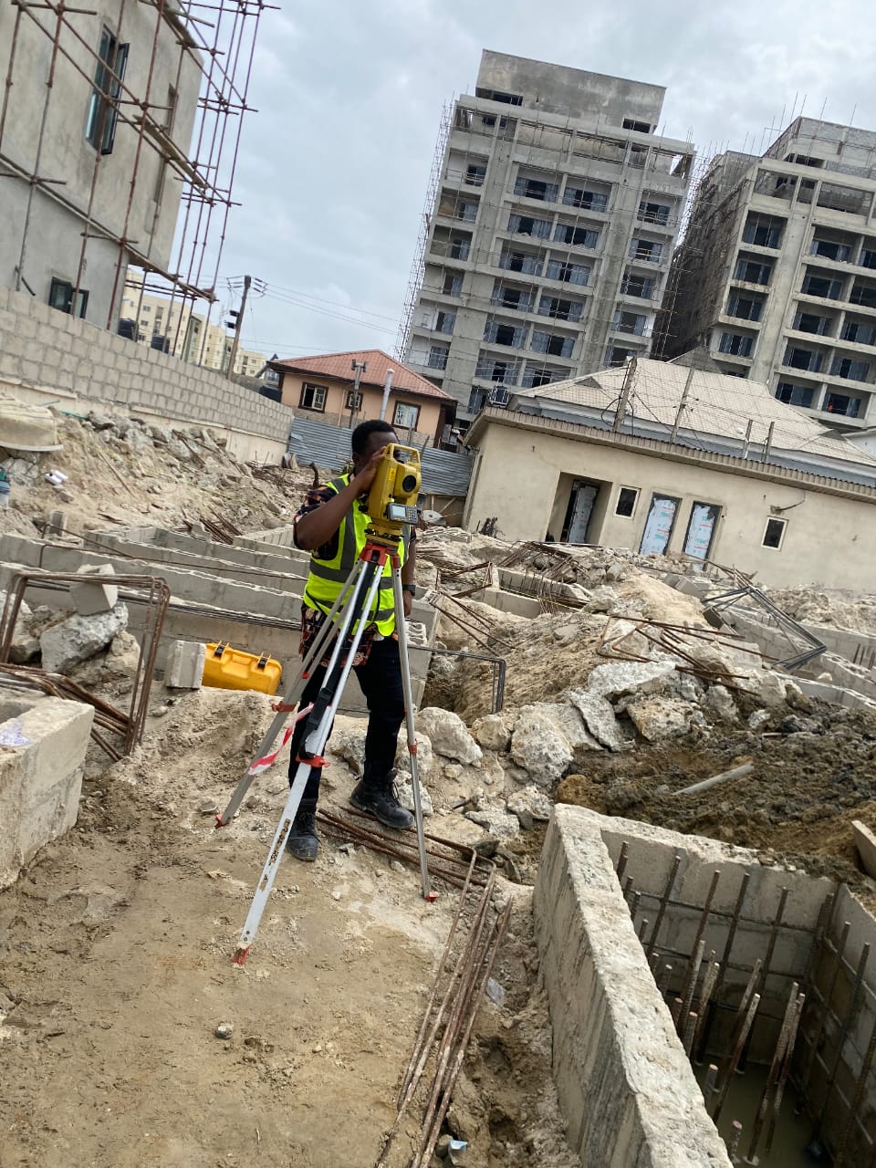
Why Land Bureau Acceptance Matters
A survey plan that has not been accepted by the relevant Lagos State authority carries very little practical weight. It cannot reliably support a Certificate of Occupancy application, it offers limited protection in a boundary dispute, and it will create friction the moment you try to sell, develop, or formally register the property.
Who Is Allowed to Produce a Survey Plan
Only a surveyor registered with the Surveyors Council of Nigeria, commonly referred to as SURCON, is authorised to produce a survey plan that can move through the official registration process in Lagos. This requirement exists precisely to maintain a consistent standard of accuracy and accountability across every plan submitted.
Documents You Typically Need Ready
- Your existing title document, such as a deed of assignment
- Identification documents for the relevant parties
- Any prior survey plan associated with the land, if one exists
- Correspondence or agreements relevant to the transaction
Having these ready before your surveyor begins reduces delays significantly, since most processing slowdowns come from missing or incomplete documentation rather than the survey work itself.
What Makes a Survey Plan Acceptable
An acceptable plan is technically accurate, properly referenced to recognised coordinate systems, clearly signed and registered by a SURCON licensed surveyor, and consistent with whatever existing documentation already applies to the land. Each of these elements needs to be correct, not just most of them.
Common Reasons Plans Get Rejected
- The surveyor who prepared the plan is not properly registered
- Measurements are inconsistent with existing, already registered surveys nearby
- Required reference points or coordinates are missing or incorrect
- Supporting documentation does not match the details on the plan itself
A Quick Word on Legal Advice
This guide is intended to give a general, practical overview rather than formal legal advice. Property transactions can involve specific legal considerations that vary case by case, so for anything beyond general survey and documentation questions, it is always worth speaking with a qualified property lawyer alongside your registered surveyor.
Regulations
Frequently Asked Questions
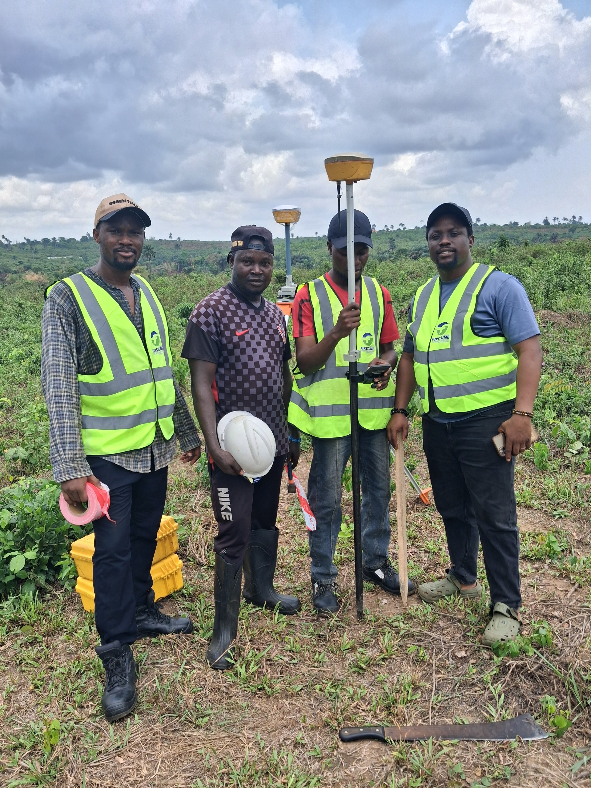
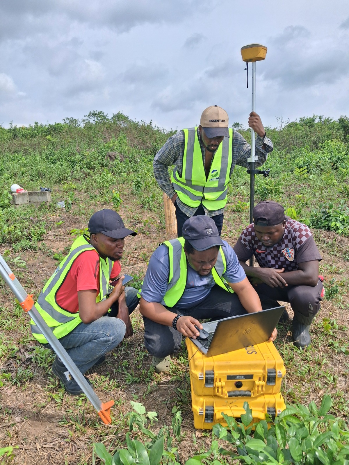
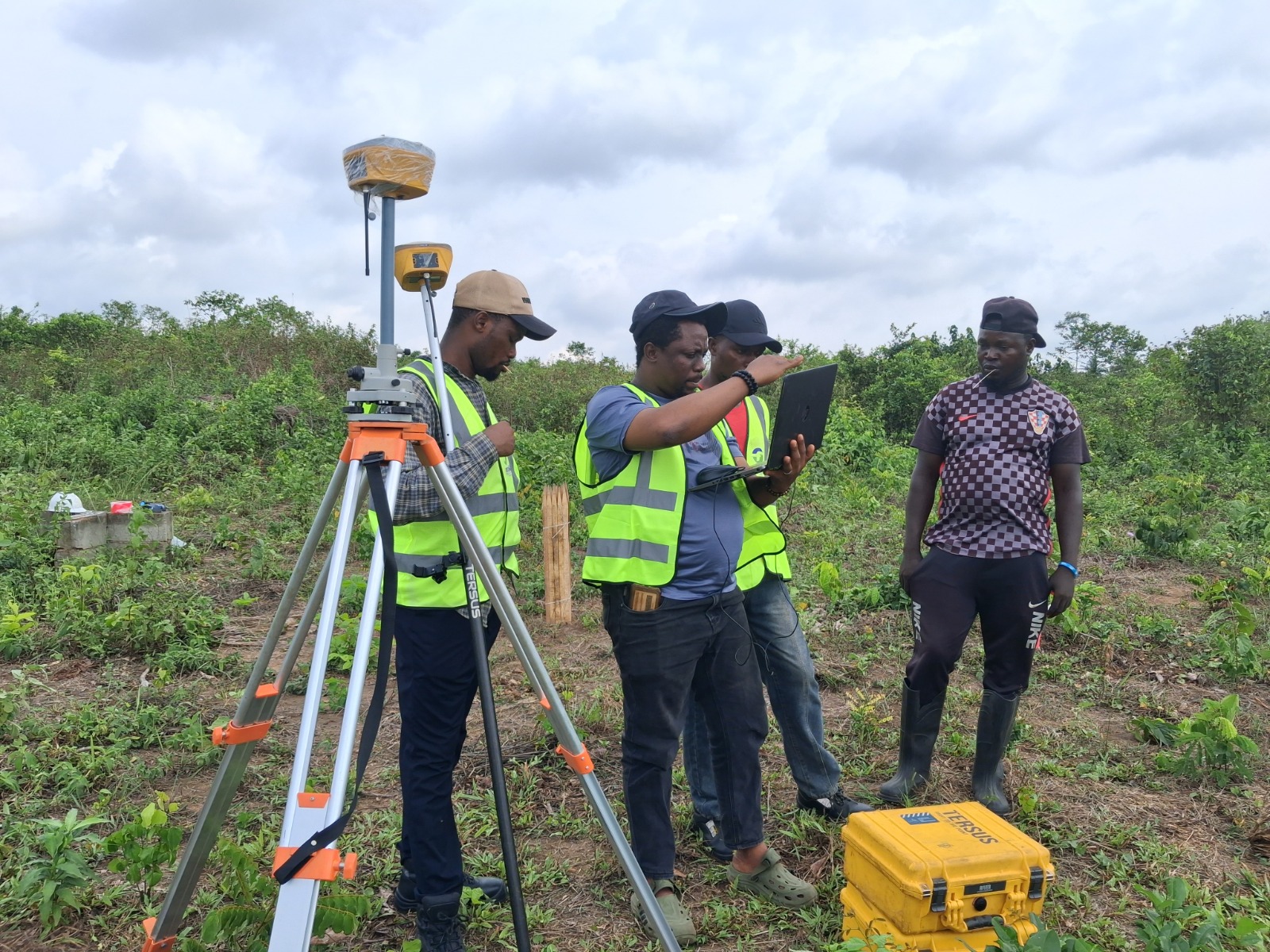
Ready When You Are
Get a Survey You Can Actually Rely On
SURCON registered. Regulation compliant. 15 years of precision across Lagos State.