Topographic Survey vs Cadastral Survey, Which Do You Need in Lagos?
Two of the most commonly confused survey types in Lagos, explained simply, with guidance on when you might need both.

The Quick Answer
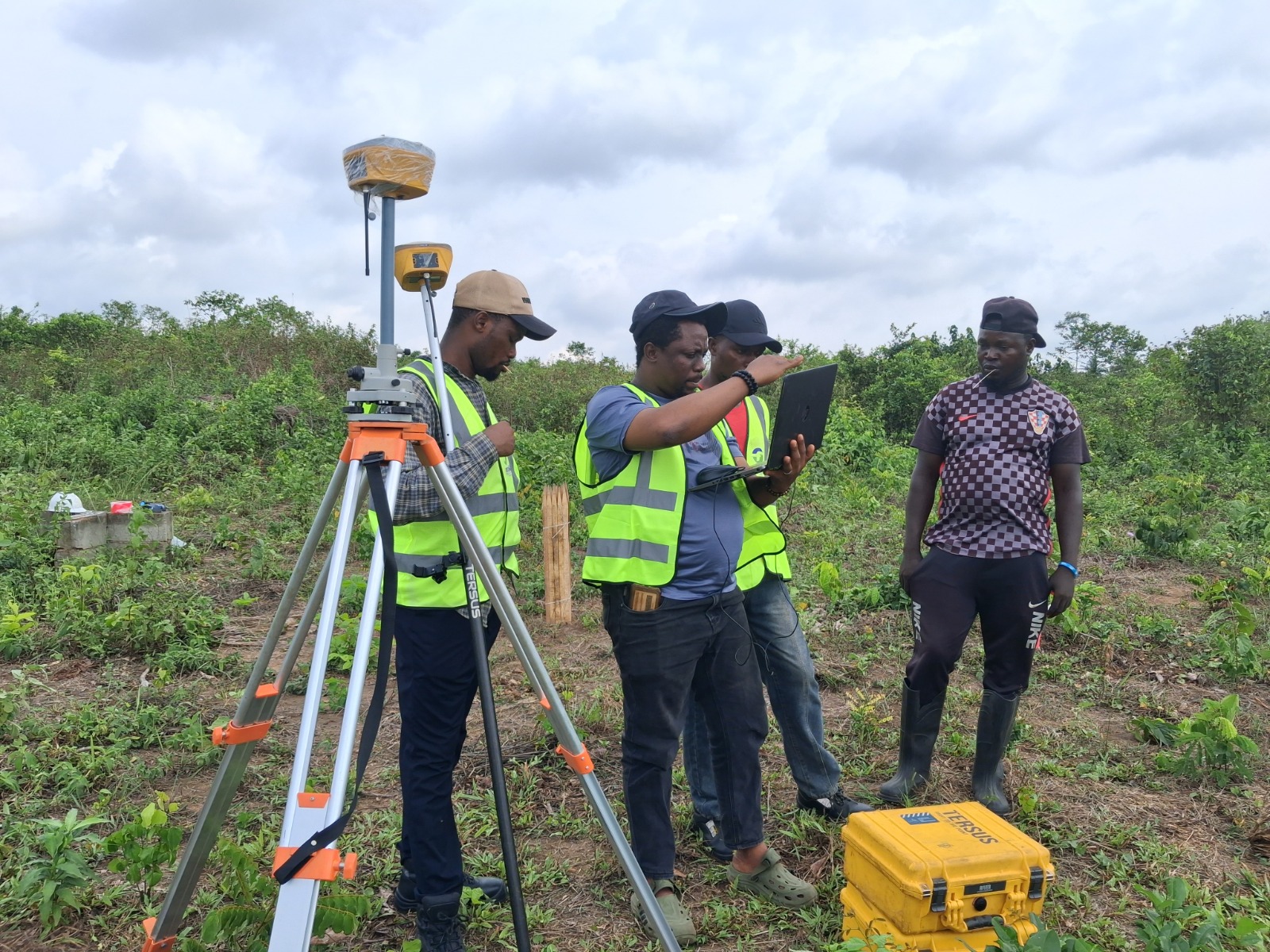
A cadastral survey tells you where your boundaries are. A topographic survey tells you what is on the land within those boundaries, including elevation, slope, drainage patterns, and existing structures. If you are buying land, you almost always need a cadastral survey first. If you are about to design or build something, you will likely need a topographic survey too.
Buying or confirming ownership: cadastral survey. Designing, building, or developing: topographic survey, usually in addition to a cadastral survey rather than instead of one.
What a Cadastral Survey Covers
A cadastral survey is concerned purely with legal boundaries. It establishes the exact corners and edges of a parcel of land, ties them to fixed reference points, and produces a registered plan that can be used for ownership documentation, sale agreements, and Land Bureau processing.
It does not tell you anything about the ground itself. Whether the land slopes, floods seasonally, or has rock close to the surface are all questions a cadastral survey leaves unanswered.
What a Topographic Survey Covers
A topographic survey captures the physical character of the land. Elevations, contours, existing trees or structures, drainage channels, and access roads are all recorded and represented visually, typically through contour lines and spot elevations on a detailed plan.
Architects and engineers rely heavily on this data. Without it, a building design risks ignoring slope and drainage realities that only become obvious, and expensive, once construction has already started.
When Lagos Projects Need Both
Most serious development projects in Lagos require both surveys, usually in sequence. The cadastral survey confirms what you legally own. The topographic survey then maps what that land physically looks like, so your architect and structural engineer can design with the real terrain in mind rather than guessing.
This is especially true in areas with uneven terrain or proximity to waterlogged zones, where a design that ignores ground conditions can lead to serious and costly problems after construction begins.
Common Mistakes Property Owners Make
- Assuming a cadastral survey alone is enough before starting construction
- Commissioning a topographic survey without first confirming legal boundaries
- Using outdated survey data on a site that has since changed due to nearby development or erosion
- Choosing the cheapest available option without confirming the surveyor is SURCON registered
How to Decide Which One Comes First
If you do not yet legally own the land or have never had its boundaries confirmed, start with a cadastral survey. If ownership is already settled and you are moving into design or construction planning, a topographic survey is the next logical step. When in doubt, a short conversation with a licensed surveyor before committing to either will usually clarify exactly what your specific project needs.
Ready When You Are
Get a Survey You Can Actually Rely On
SURCON registered. Regulation compliant. 15 years of precision across Lagos State.