How to Get a Cadastral Survey Done in Lagos
A practical walkthrough of the entire process, from gathering documents to receiving a plan the Lagos State Land Bureau will accept.
What a Cadastral Survey Actually Does
A cadastral survey is the process of legally identifying and marking out the exact boundaries of a piece of land. In Lagos, it is the document that turns a vague description of land into a precise, measurable, and legally defensible area with coordinates, beacons, and a registered survey number.
Without one, your ownership claim rests on word of mouth and whatever paperwork the seller hands you. With one, your boundaries are recorded, your plot can be processed for a Certificate of Occupancy, and any future dispute has a clear reference point to settle it.
You need a SURCON registered surveyor, your title documents, and access to the site. Most residential cadastral surveys in Lagos are completed within three to five working days once these are in place.
Gather Your Title Documents First
Before any surveyor steps onto your land, gather whatever documentation you already have. This typically includes your deed of assignment, a previous survey plan if one exists, any correspondence with the seller, and identification documents for the parties involved.
If you are buying land that has never been surveyed, do not worry. Many plots across Lagos, particularly in newer corridors, are sold without a formal survey already attached. The point of this step is simply to hand your surveyor everything that already exists so nothing is duplicated or missed.
Engage a SURCON Registered Surveyor
This step is not optional, and it is the one most commonly skipped by buyers trying to save money. In Nigeria, only a surveyor registered with the Surveyors Council of Nigeria can produce a survey plan that the Lagos State Land Bureau will accept.
Ask for the registration number directly. A licensed surveyor will give it to you without hesitation, because it is public information tied to their professional standing. At Firstline Geospatial, our registration number is 5471, and we encourage every client to verify it independently before work begins.
Site Reconnaissance and Field Work
Once engaged, your surveyor will visit the site to assess access points, existing structures, neighbouring boundaries, and any physical markers already in place. This reconnaissance step matters more than most people realise. It is where potential boundary conflicts with neighbours get identified early, before they become legal problems.
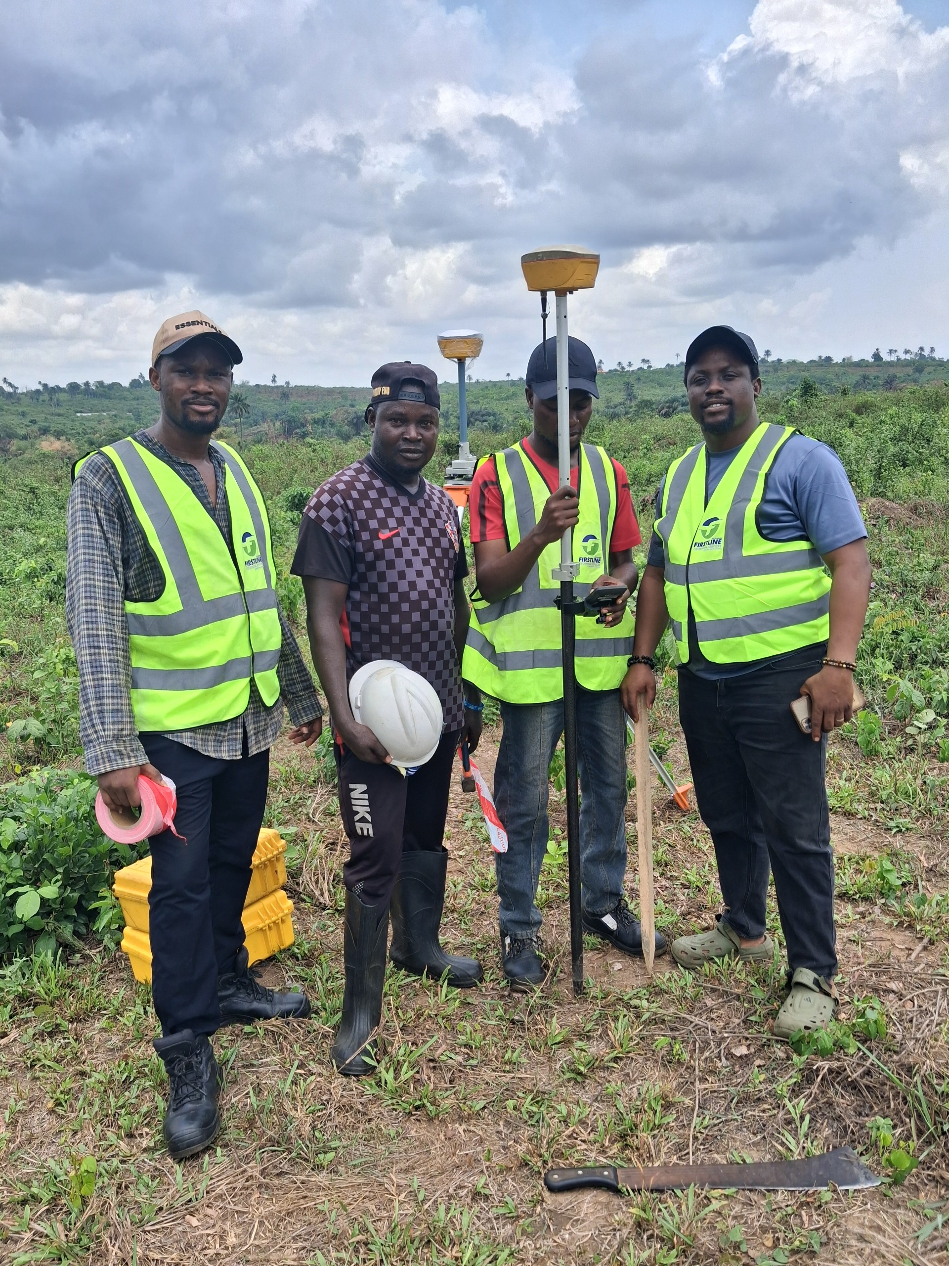
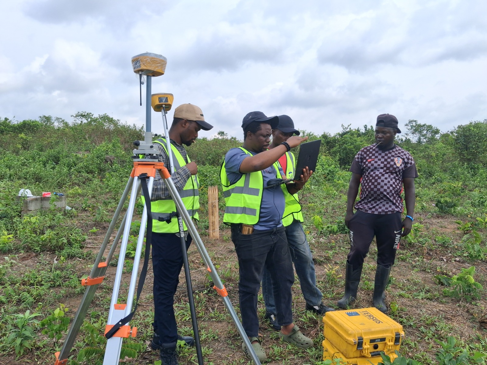
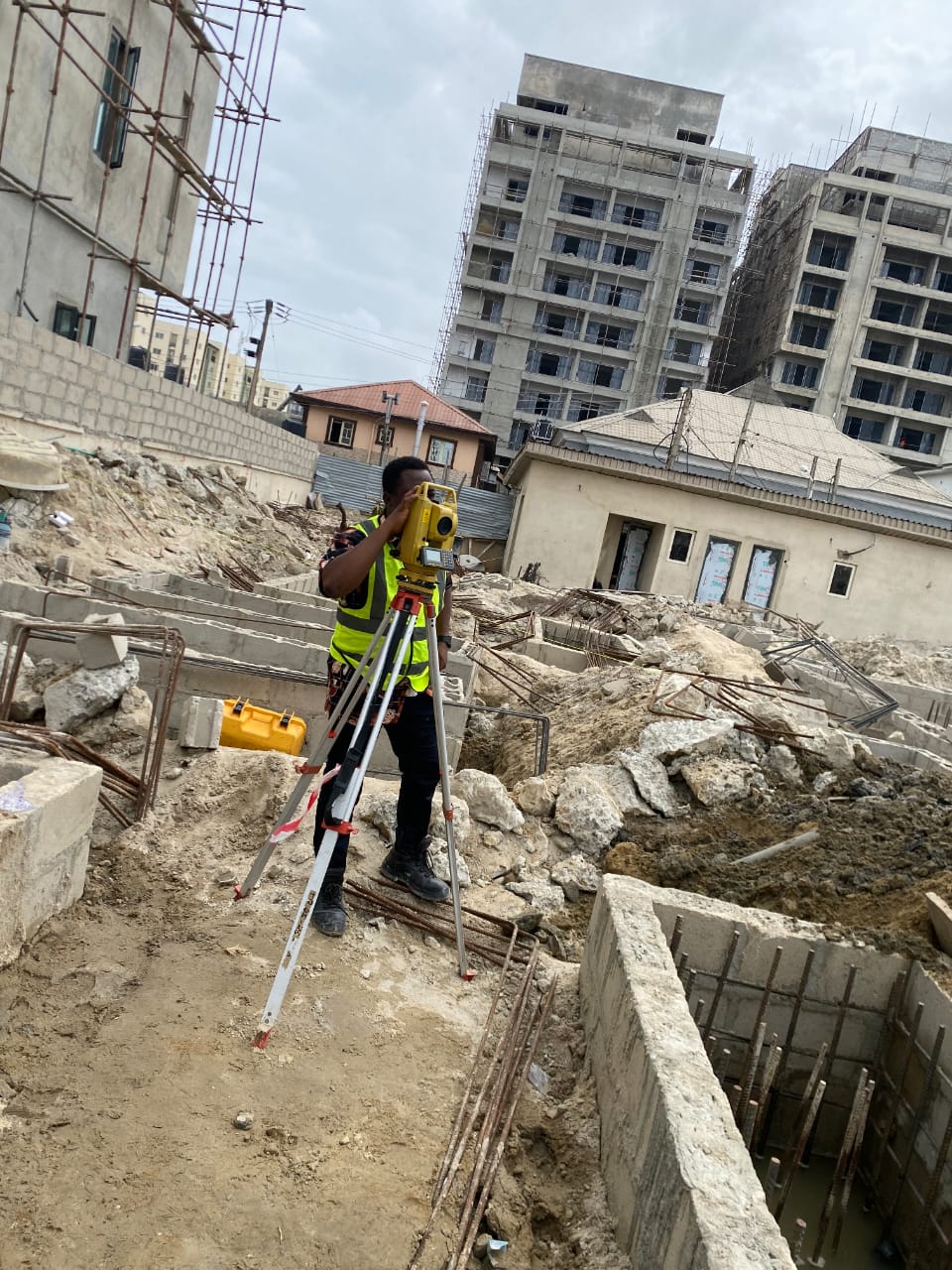
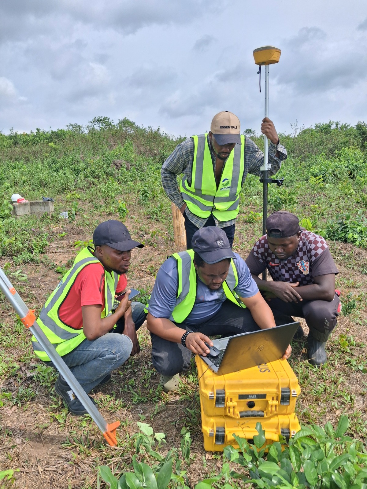
The actual field survey follows, using calibrated instruments such as total stations and GNSS receivers to capture precise coordinates for every corner and boundary point of the land.
Data Processing and Plan Preparation
Raw field data on its own means nothing to a land registry. It has to be processed, checked for accuracy, and converted into a formal survey plan that meets the technical standards required for submission. This stage includes quality checks to catch any measurement inconsistencies before the plan is finalised.
Submission and Land Bureau Acceptance
The completed survey plan is then submitted for registration. A properly prepared plan from a registered surveyor moves through this process smoothly. A poorly prepared one, or one from an unregistered source, risks rejection, delays, and in some cases having to start the entire process over.
How Long It Takes and What It Costs
Timelines vary depending on plot size, location, and how quickly documentation is made available. As a general guide, most straightforward residential cadastral surveys across Ikeja, Lekki, and Ikoyi are completed within three to five working days from the field visit. Cost depends on similar factors, so it is always worth requesting a specific quote for your exact plot rather than relying on a generic figure seen elsewhere.
If you are planning to buy, develop, or simply confirm the boundaries of land anywhere in Lagos, getting this right from the start saves significant time, money, and stress later.
Survey Guides
Frequently Asked Questions
Ready When You Are
Get a Survey You Can Actually Rely On
SURCON registered. Regulation compliant. 15 years of precision across Lagos State.