Precision Survey
Services in Lagos
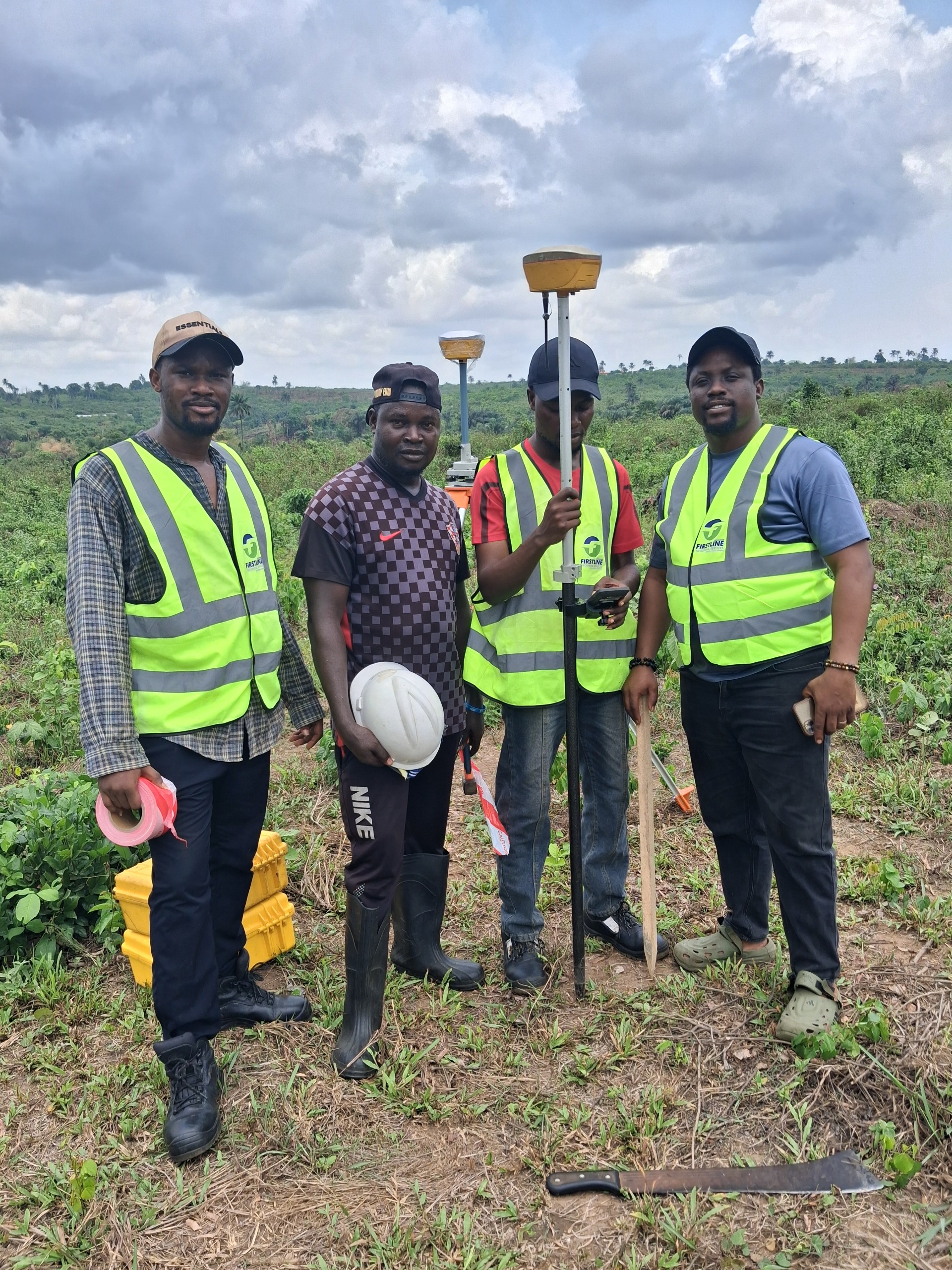
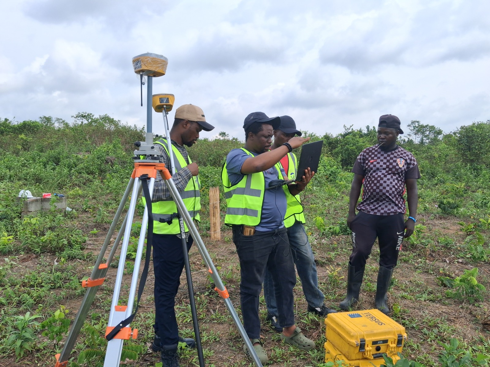
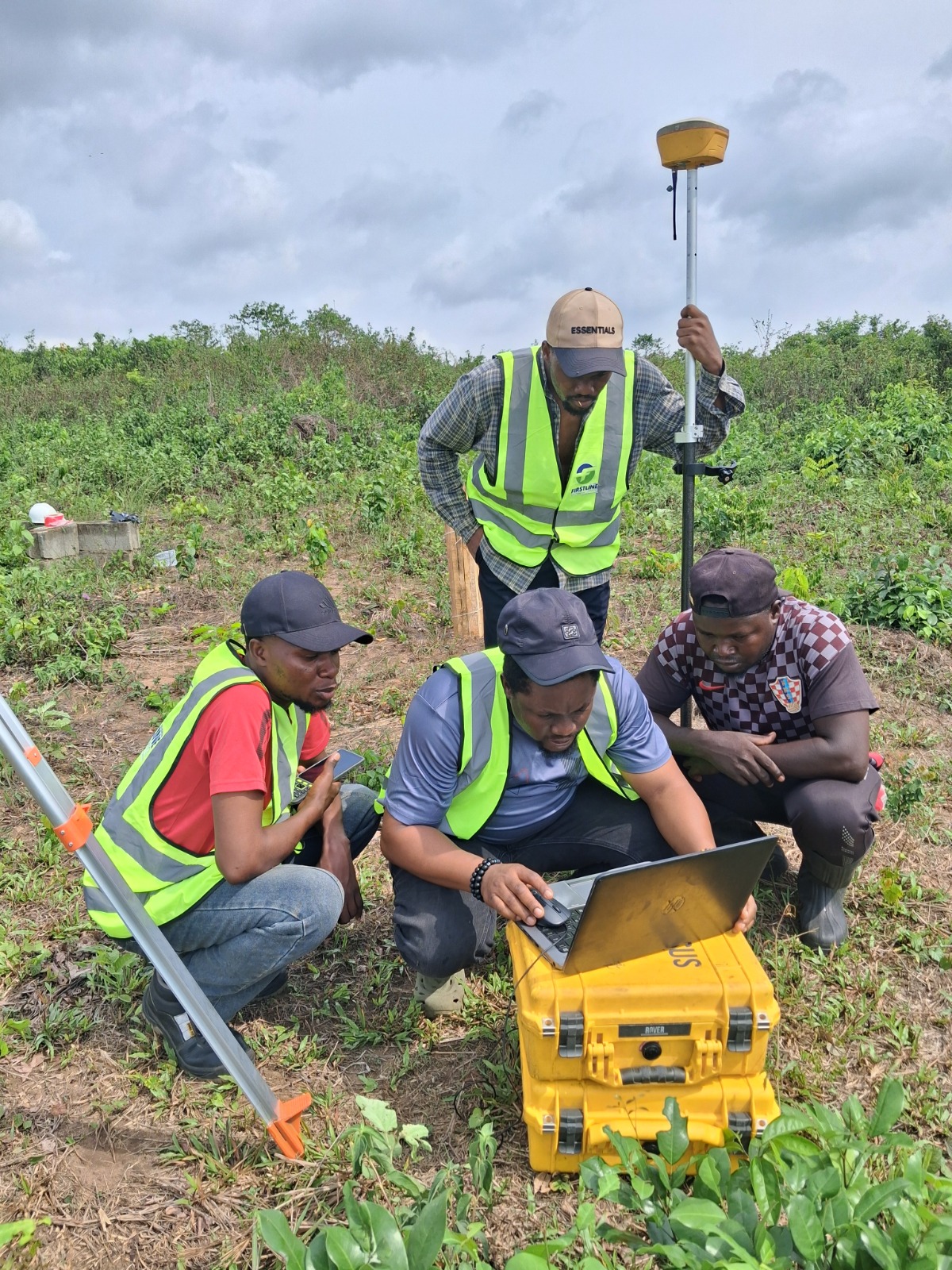
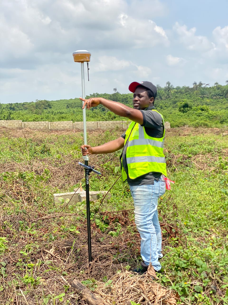
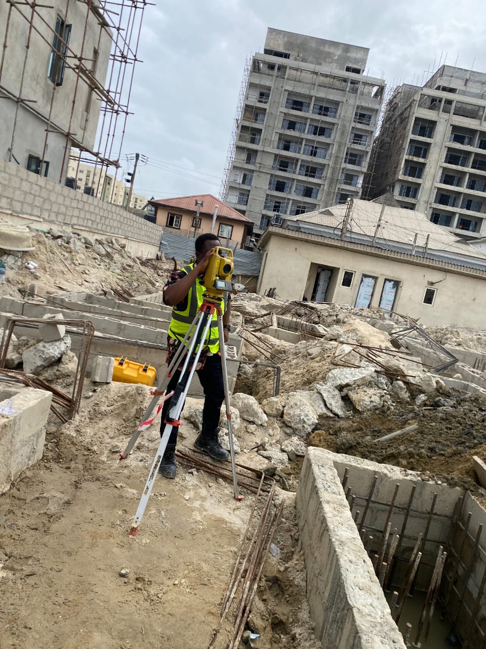
Eight specialist land surveying and geospatial services delivered by a SURCON-licensed team across Ikeja, Lekki, Ikoyi and Ibeju-Lekki. Every output is accurate, regulation-compliant and decision-ready.
What We Offer
Every Survey Type Your Project Needs, Done Right the First Time
Whether you are a property developer in Ibeju-Lekki, an engineer planning infrastructure in Ikeja, or a private landowner in Lekki needing a boundary confirmed before a sale, Firstline Geospatial Services has the exact service you need.
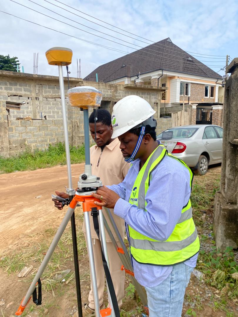
Every service we deliver is backed by modern equipment, regulated professional practice, and a structured process that eliminates errors before any output leaves our office. Led by Surv. Mrs. Oriyomi Rachael Adeyemi, SURCON Reg No. 5471, you get survey data that is legally sound and decision-ready from day one.
 Ikeja, Lagos
Our Services
8 Specialist Geospatial Services Across Lagos
Select any service below to learn more, understand what it includes, and find out if it is what your project needs.
Most Requested
01
Cadastral / Boundary Survey
Accurate legal demarcation of property boundaries in Lagos. Accepted by the Lagos State Land Bureau. Essential before any land purchase, sale, or development.
 For Developers
02
For Developers
02
Topographic Survey
Detailed mapping of land features, elevations, contours and existing structures. Essential for architects, engineers and developers before any design or construction work in Lagos.
 For Engineers
03
For Engineers
03
Engineering Survey
Precise spatial data supporting infrastructure design, construction and maintenance across Lagos. Trusted by civil engineers, contractors and project managers on complex Lagos projects.
 Post-Construction
04
Post-Construction
04
As-Built Survey
Documentation of completed construction projects recording actual positions and dimensions for handover, compliance and future reference. Required by most regulatory and lending bodies in Lagos.
 Construction
05
Construction
05
Layout and Setting Out
Transferring architectural and engineering designs onto construction sites with precision required for pile points, columns, foundations and road alignments across Lagos.
 Spatial Analysis
06
Spatial Analysis
06
GIS Mapping
Production of maps, plans and spatial data analysis using modern GIS tools. Clear, decision-ready outputs for developers, urban planners and government agencies across Lagos State.
Data and Analytics
07
Geospatial Data Processing
End-to-end processing of raw spatial data into clear actionable outputs. From field-collected data to polished maps, reports and analysis for developers and planners across Lagos State.
Aerial Survey
08
Aerial and Drone Mapping
High-resolution aerial imagery and drone surveys for large or complex Lagos sites. Orthomosaic maps, Digital Surface Models and contour data with faster coverage than traditional ground survey methods.
Why Choose Us
The Firstline Difference
Every surveying company in Lagos will tell you they are accurate and professional. Here is what actually separates us.
Every survey plan we deliver carries the professional license of a SURCON-registered surveyor. Legally recognised across Nigeria.
Most surveys delivered within 3 to 5 working days without compromising on accuracy or compliance. We give you a firm timeline before we start.
Led by Surv. Mrs. Oriyomi Rachael Adeyemi with over 15 years of surveying and geoinformatics experience across Nigeria.
All our survey plans are accepted by the Lagos State Land Bureau and LASG agencies — ready for legal proceedings and property transactions.
Who We Serve
Built for Every Stakeholder in Lagos Real Estate and Infrastructure
Our services are designed to meet the specific needs of every professional and property owner who needs reliable spatial data to make confident decisions.
Cadastral, topographic and drone mapping for site acquisition, planning approvals and estate layout across Lagos.
Setting out of pile points, as-built surveys and engineering surveys supporting every stage of your Lagos construction project.
Boundary confirmation, title documentation and survey plans accepted by the Lagos Land Bureau before you buy or sell.
GIS mapping, geospatial data processing and large-scale topographic surveys supporting planning and infrastructure projects.
Precise engineering surveys, setting out services and spatial data to support design, construction and site management across Lagos.
Site surveys, as-built documentation and GIS outputs for corporate headquarters, industrial facilities and commercial properties in Lagos.
Common Questions
Questions About Our Services
Not sure which survey you need? These answers cover the most common questions we receive from clients across Lagos before they book.
Ask Us DirectlyReady to Book
Not Sure Which Survey You Need? We Will Tell You in 5 Minutes.
Send us a WhatsApp message, describe your project and location, and we will recommend exactly the right service and give you a quote on the same call. No obligation.